


ABOUT
Aim & Scope
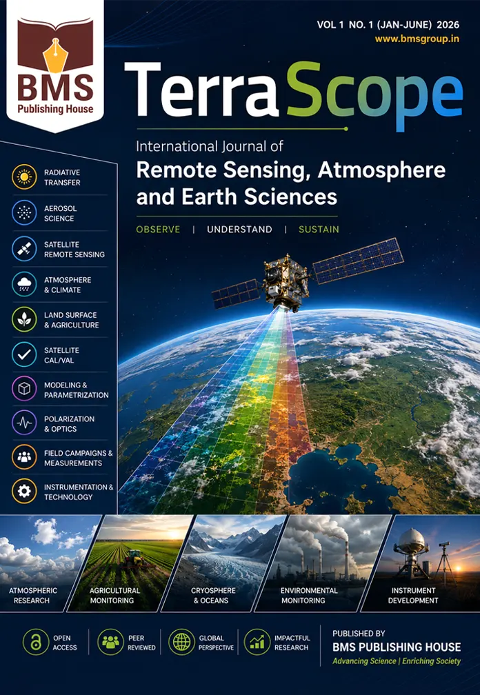
TerraScope: International Journal of Remote Sensing, Atmosphere and Earth Sciences (TIJRAES)
Aim
TerraScope: International Journal of Remote Sensing, Atmosphere and Earth Sciences (TIJRAES) is an international, peer-reviewed, open-access journal dedicated to publishing high-quality original research, review articles, short communications, technical notes, and case studies in the fields of remote sensing, atmospheric sciences, Earth observation, environmental monitoring, and geospatial technologies.
The journal aims to promote interdisciplinary research that advances the understanding of Earth’s atmosphere, land, oceans, cryosphere, and biosphere through satellite observations, field measurements, modelling, and innovative instrumentation. TerraScope serves as a global platform for researchers, scientists, engineers, policymakers, and practitioners to disseminate cutting-edge scientific discoveries and technological innovations that contribute to sustainable development, climate resilience, environmental protection, and resource management.
The journal welcomes theoretical, experimental, observational, and application-oriented research that bridges atmospheric science, Earth system science, geoinformatics, and environmental engineering.
Scope
The journal publishes original contributions in, but not limited to, the following areas:
Atmospheric Sciences
⦁ Atmospheric Physics
⦁ Atmospheric Chemistry
⦁ Atmospheric Dynamics
⦁ Boundary Layer Meteorology
⦁ Aerosol–Cloud Interactions
⦁ Air Quality and Pollution Studies
⦁ Greenhouse Gases
⦁ Climate Change and Climate Variability
⦁ Weather Forecasting
⦁ Monsoon and Extreme Weather Events
Radiative Transfer & Atmospheric Optics
⦁ Radiative Transfer Theory
⦁ Solar and Terrestrial Radiation
⦁ Atmospheric Correction Algorithms
⦁ Optical Properties of Atmosphere
⦁ Polarization of Light
⦁ Light Scattering
⦁ Radiative Forcing
⦁ Surface Reflectance Retrieval
Aerosol Science
⦁ Aerosol Optical Properties
⦁ Aerosol Microphysics
⦁ Aerosol Chemistry
⦁ Aerosol Transport
⦁ Aerosol–Radiation Interactions
⦁ Aerosol–Cloud–Climate Feedback
⦁ Dust, Biomass Burning, and Urban Aerosols
⦁ Aerosol Impacts on Human Health
Satellite Remote Sensing
Research involving satellite missions including but not limited to:
⦁ MODIS
⦁ VIIRS
⦁ AVHRR
⦁ Landsat Series
⦁ Sentinel-1, Sentinel-2, Sentinel-3
⦁ POLDER
⦁ MISR
⦁ MERIS
⦁ WorldView Series
⦁ DMC
⦁ PlanetScope
⦁ Resourcesat
⦁ Cartosat
⦁ Oceansat
⦁ INSAT
⦁ NOAA
⦁ Suomi NPP
⦁ Terra & Aqua
⦁ Geostationary Satellites
⦁ Future Earth Observation Missions
Earth Observation
⦁ Land Surface Characterization
⦁ Surface Albedo
⦁ Vegetation Indices
⦁ Land Use and Land Cover Mapping
⦁ Soil Moisture
⦁ Surface Temperature Retrieval
⦁ Urban Remote Sensing
⦁ Coastal Zone Monitoring
⦁ Wetland Mapping
⦁ Desertification Studies
⦁ Forest Monitoring
⦁ Ecosystem Assessment
Agricultural Remote Sensing
⦁ Precision Agriculture
⦁ Crop Identification
⦁ Crop Growth Monitoring
⦁ Crop Yield Estimation
⦁ Agricultural Drought Assessment
⦁ Soil Health Monitoring
⦁ Irrigation Management
⦁ Agricultural GIS Applications
⦁ Food Security Monitoring
Ocean, Coastal and Cryosphere Studies
⦁ Ocean Color Remote Sensing
⦁ Coastal Environment Monitoring
⦁ Sea Surface Temperature
⦁ Marine Ecosystem Studies
⦁ Glacier Monitoring
⦁ Snow Cover Mapping
⦁ Polar Research
⦁ Sea Ice Monitoring
⦁ Hydrological Applications
Environmental Monitoring
⦁ Natural Resource Assessment
⦁ Water Quality Monitoring
⦁ Forest Fire Detection
⦁ Flood Monitoring
⦁ Drought Monitoring
⦁ Land Degradation
⦁ Disaster Risk Assessment
⦁ Environmental Impact Assessment
⦁ Sustainable Development Applications
Calibration, Validation & Quality Assurance
⦁ Satellite Calibration (Cal)
⦁ Satellite Product Validation (Val)
⦁ Sensor Performance Assessment
⦁ Uncertainty Analysis
⦁ Field Validation Campaigns
⦁ Algorithm Validation
⦁ Reference Networks
⦁ Intercomparison Studies
Modelling & Data Assimilation
⦁ Atmospheric Modelling
⦁ Climate Modelling
⦁ Earth System Modelling
⦁ Aerosol Transport Models
⦁ Numerical Weather Prediction
⦁ Parameterization Schemes
⦁ Data Assimilation
⦁ Coupled Atmosphere–Land–Ocean Models
⦁ Forecasting Systems
Geospatial Science & Artificial Intelligence
⦁ Geographic Information Systems (GIS)
⦁ Geospatial Analytics
⦁ Spatial Statistics
⦁ Big Earth Data
⦁ Artificial Intelligence
⦁ Machine Learning
⦁ Deep Learning
⦁ Digital Twins
⦁ Cloud Computing
⦁ High-Performance Computing
⦁ Data Fusion
⦁ Decision Support Systems
Instrumentation & Technology
⦁ Remote Sensing Instrument Development
⦁ Optical Sensors
⦁ Hyperspectral Sensors
⦁ Multispectral Imaging
⦁ Microwave Sensors
⦁ LiDAR
⦁ Radar Remote Sensing
⦁ UAV and Drone-Based Remote Sensing
⦁ Ground-Based Observation Systems
⦁ Sensor Calibration
⦁ Laboratory Measurements
Field Campaigns
⦁ Atmospheric Field Experiments
⦁ Aerosol Measurement Campaigns
⦁ Validation Experiments
⦁ Mobile Observation Systems
⦁ Surface Observation Networks
⦁ Long-Term Monitoring Stations
⦁ Experimental Methodologies
Emerging Topics
⦁ Digital Earth
⦁ Smart Environmental Monitoring
⦁ Internet of Things (IoT) for Earth Observation
⦁ Climate Services
⦁ Carbon Monitoring
⦁ Sustainable Cities
⦁ Renewable Energy Assessment
⦁ Geospatial Decision Intelligence
⦁ Earth Observation for SDGs
⦁ Satellite Data Analytics
Types of Articles Accepted
⦁ Original Research Articles
⦁ Review Articles
⦁ Short Communications
⦁ Technical Notes
⦁ Methodological Papers
⦁ Instrumentation Reports
⦁ Field Campaign Reports
⦁ Data Papers
⦁ Case Studies
⦁ Perspective Articles
⦁ Letters to the Editor
⦁ Editorials
⦁ Special Issue Papers
Target Audience
The journal is intended for researchers, scientists, engineers, academicians, environmental professionals, geospatial analysts, policymakers, meteorologists, climatologists, agricultural scientists, and practitioners working in atmospheric sciences, remote sensing, Earth observation, environmental monitoring, and related interdisciplinary fields.


Reviews
There are no reviews yet.